Japan’s Ishikawa Pref. Expanded in Quake, Now Larger Than Fukui Pref.; Such Changes Considered Rare
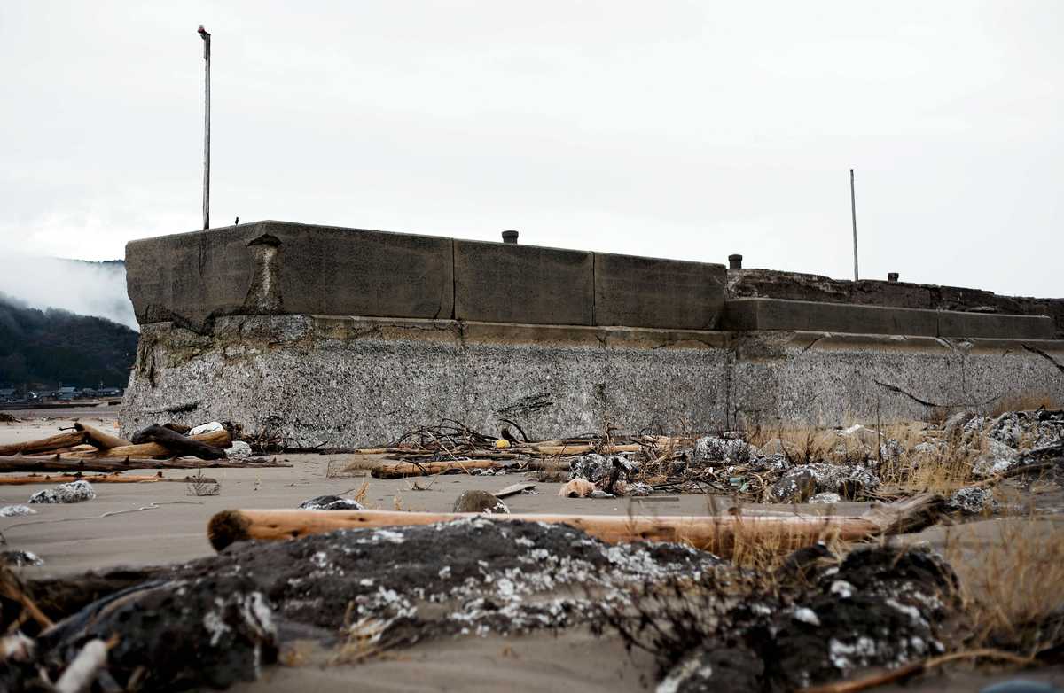
Kuroshima Fishing Port in Wajima, Ishikawa Prefecture, where the ground was uplifted due to the Noto Peninsula Earthquake
14:15 JST, September 27, 2025
Ishikawa Prefecture is now larger than neighboring Fukui Prefecture, according to the Geospatial Information Authority of Japan, with the 2024 Noto Peninsula Earthquake causing coastal uplift and other effects that expanded its area.
Ishikawa Prefecture now ranks 34th in area among Japan’s prefectures, while Fukui Prefecture has dropped to 35th.
A change in area rankings due to crustal movement is considered unusual.
The earthquake, which occurred in January last year, caused an 85-kilometer stretch of the northern coastline of the Noto Peninsula to rise, creating new land in some areas.
The GSI used aerial photographs to measure the area of the newly formed land and, in June this year, updated an electronic map used for area calculation.
Based on the updated data, the area of Ishikawa Prefecture has increased by 4.74 square kilometers from the previous measurement to 4,190.94 square kilometers, overtaking Fukui Prefecture’s 4,190.59 square kilometers.
By municipality, the increase in area was 2.78 square kilometers in Wajima, 1.72 square kilometers in Suzu and 0.24 square kilometers in Shika.
The prefectural area rankings also changed in 1988, when Osaka Prefecture surpassed Kagawa Prefecture due to expanded land reclamation and other factors.
“Coastal uplift from the earthquake was certainly significant, but Ishikawa and Fukui prefectures were originally very close in area, which is why this kind of reversal could occur,” a GSI official explained.


Most Read
Popular articles in the past 24 hours
-
Business Hotels Expanding into Regional Areas in Japan, Aiming to...
-
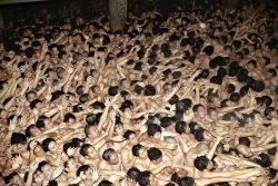
6 Injured at Naked Festival in Japan’s Okayama Prefecture; Police...
-

Fiji Defense Minister Hopes Japan Will Support Stabilization of P...
-

Space One Delays Launch of No. 3 Kairos Rocket; Company to Announ...
-

Milano Cortina 2026: Malinin Highlights Dangers of Social Media i...
-

Reciprocal Tariffs Ruled Illegal: Judiciary Would Not Tolerate Pr...
-
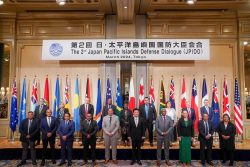
3rd Japan Pacific Islands Defense Dialogue to Begin in Tokyo on S...
-

Japanese Film, Anymart, Wins Critics’ Award at International Film...
Popular articles in the past week
-

Japan PM Takaichi’s Cabinet Resigns en Masse
-

Man Infected with Measles Reportedly Dined at Restaurant in Tokyo...
-

Sanae Takaichi Elected Prime Minister of Japan; Keeps All Cabinet...
-
Japan's Govt to Submit Road Map for Growth Strategy in March, PM ...
-

Bus Carrying 40 Passengers Catches Fire on Chuo Expressway; All E...
-

Milano Cortina 2026: Figure Skaters Riku Miura, Ryuichi Kihara Pa...
-
Japan, U.S. Name 3 Inaugural Investment Projects; Reached Agreeme...
-
U.S. Firm to Build Training Hub in Fukushima N-plant for Debris R...
Popular articles in the past month
-
Japan PM Takaichi’s Cabinet Resigns en Masse
-
Japan Institute to Use Domestic Commercial Optical Lattice Clock ...
-

Israeli Ambassador to Japan Speaks about Japan’s Role in the Reco...
-
Man Infected with Measles Reportedly Dined at Restaurant in Tokyo...
-

Videos Plagiarized, Reposted with False Subtitles Claiming ‘Ryuky...
-

Man Infected with Measles May Have Come in Contact with Many Peop...
-

Prudential Life Insurance Plans to Fully Compensate for Damages C...
-
Woman with Measles Visited Hospital in Tokyo Multiple Times Befor...
Top Articles in Science & Nature
-
Japan Institute to Use Domestic Commercial Optical Lattice Clock to Set Japan Standard Time
-
Japan to Face Shortfall of 3.39 Million Workers in AI, Robotics in 2040; Clerical Workers Seen to Be in Surplus
-
Record 700 Startups to Gather at SusHi Tech Tokyo in April; Event Will Center on Themes Like Artificial Intelligence and Robotics
-
iPS Treatments Pass Key Milestone, but Broader Applications Far from Guaranteed
-
iPS Cell Products for Parkinson’s, Heart Disease OK’d for Commercialization by Japan Health Ministry Panel
JN ACCESS RANKING
-
Japan PM Takaichi’s Cabinet Resigns en Masse
-
Japan Institute to Use Domestic Commercial Optical Lattice Clock to Set Japan Standard Time
-
Israeli Ambassador to Japan Speaks about Japan’s Role in the Reconstruction of Gaza
-
Man Infected with Measles Reportedly Dined at Restaurant in Tokyo Station
-
Videos Plagiarized, Reposted with False Subtitles Claiming ‘Ryukyu Belongs to China’; Anti-China False Information Also Posted in Japan