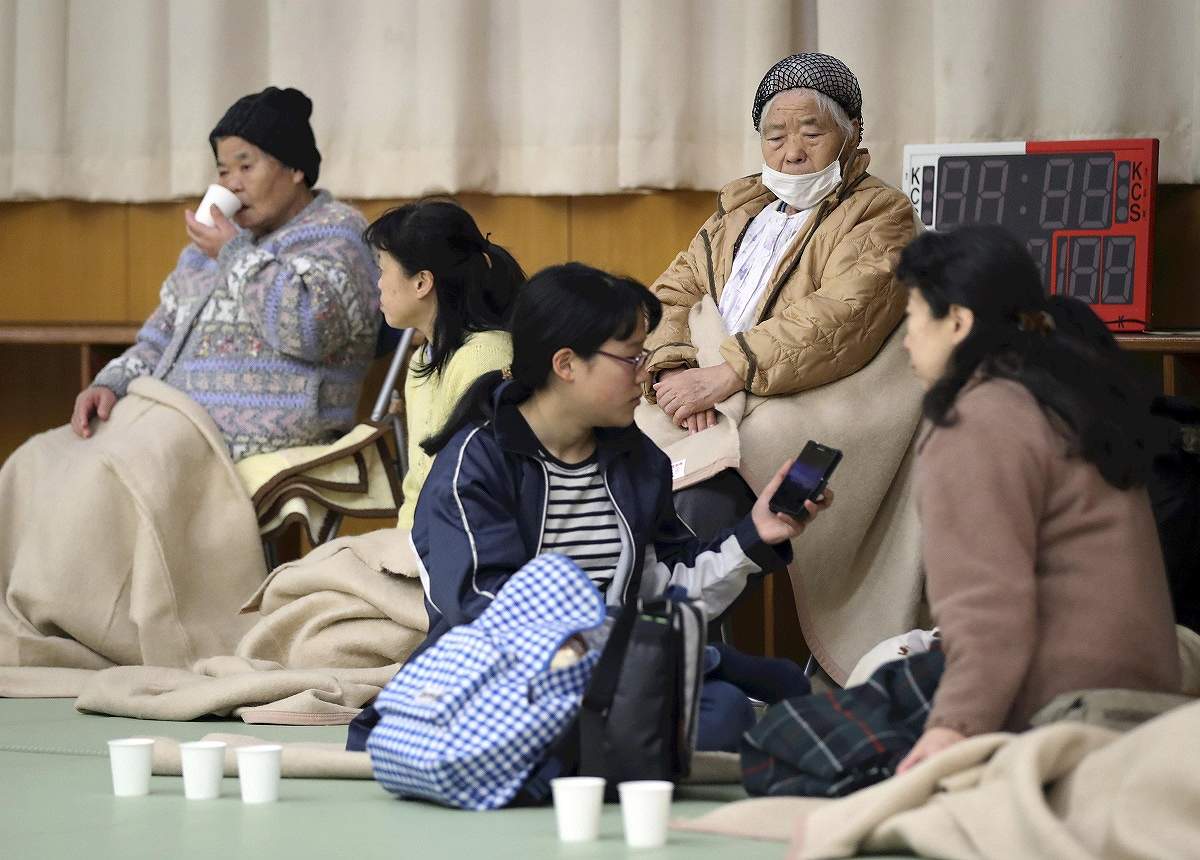
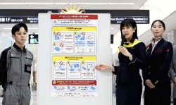
People at an evacuation center in Soma, Fukushima Prefecture, use a smartphone to check information on potential tsunami after an earthquake in November 2016.
9:12 JST, January 12, 2021
The government will use communications among smartphones and a satellite to quickly assess the damage from natural disasters in areas where telecommunications have been disrupted, The Yomiuri Shimbun has learned.
A new system will be operated under the assumption that mobile phone base stations and other telecommunication infrastructure have been damaged. It will use Bluetooth wireless communication technology to collect information about residents’ safety via smartphone-to-smartphone communication only, instead of smartphone to base stations.
The system will then use a satellite to connect residents’ smartphones with public organizations that respond to disasters.
From this month onward, 24 municipalities across Japan will begin testing the system, which will be used for disaster relief and rescue operations.
The satellite to be used in the new system is the Michibiki 3, a positioning satellite operated by the Cabinet Office that can transmit information on safety and location in the event of a disaster. It began operating in the event of disasters from 2018, but has had the problem of not being able to collect information if communications were disrupted in the disaster area.
The new system will make use of relay-by-smartphone technology, which was developed by Tohoku University and put to practical use by a private company in 2019. The technology enables the automatic relay of safety information among nearby smartphones via Bluetooth without going through a base station.
Immediately after a disaster occurs, residents enter their safety information, such as phone numbers, names, whether they are injured and their evacuation status, into a special app on their smartphones. The data is relayed to nearby smartphones within the range of Bluetooth, with the relay continuing on to other phones.
When a resident with a smartphone holding the data approaches an evacuation center, data transmitting equipment at the center sends it to the Michibiki 3 satellite. The satellite relays the data to dedicated receiving facilities at three locations, including Ibaraki Prefecture, and the data is then sent to the Self-Defense Forces, the National Police Agency and other related organizations.
Each transmitting device is capable of sending data related to about 1,000 people per hour. The government will be able to ascertain the situation, which will be useful for dispatching medical teams and transporting relief supplies.
Information gathered by the transmitters can also be shared with affected municipalities. The government can send such messages as “Rescue teams are on their way” to evacuation centers via Michibiki 3.
To protect personal information, the information received by others during the relay among smartphones cannot be viewed. If users allow their own safety information to be published on a dedicated website, family members and others living outside the disaster area can learn of their safety.
Twenty-four municipalities will participate in the trial, including Uwajima in Ehime Prefecture, where residents were isolated after torrential rain in 2018, and Yatsushiro in Kumamoto Prefecture, which was hit by torrential rain last July. Up to 20 transmitter units will be installed in each municipality this month.
The government will encourage residents to download the app, verify any problems through evacuation drills and aim to launch the system for full-scale use in a few years.


Most Read
Most read in the last 24 hours
-

Promote Support, Respect to Help Prevent Harassment of Athletes
-
Japan Should Serve as Bridge between Nuclear, Non-nuclear States,...
-

Yamato Museum Reopens in Hiroshima Pref. Following Extensive Reno...
-
Toyota Unveils New Development Hub in Woven City Repurposed from ...
-
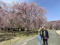
Elegant Weeping Cherry Blossoms on Display at Water Purification ...
-
Japanese Govt to Set Up Panel on Widening Access to Sports Broadc...
-

Fukui: Dinosaur Faculty Building Unveiled in Japanese University'...
-
Man Admits to Abandoning Wife's Body in Zoo Incinerator in Hokkai...
Most read in the last 7 days
-
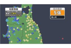
Earthquake Hits Japan's Tohoku Region; 3-meter Tsunami Warning Is...
-

Trump Extends the Ceasefire with Iran but Keeps the Blockade
-

China, South Korea Object to Japanese PM Takaichi's Ritual Offeri...
-

India's Arms Indigenization Quest for Self-Reliance / New Delhi S...
-
Japan to Ban Use of Portable Chargers on Airplanes from April 24,...
-

¥1,000 Coins to Be Issued to Mark Anniversary of Beginning of Jap...
-

Most Serious Cyberattacks against the UK Now from Russia, Iran an...
-

Trump Opposes United–American Merger, Signals Support for Spirit
Most read in the last 30 days
-
Earthquake Hits Japan's Tohoku Region; 3-meter Tsunami Warning Is...
-

Police Find Child's Shoe During Search for Missing Boy in Nantan,...
-
Body Found in Nantan, Kyoto Prefecture, During Search for 11-Year...
-

Cherry Blossoms, Rapeseed Flowers Perform Colorful ‘Duet’ in Niig...
-
Trump Extends the Ceasefire with Iran but Keeps the Blockade
-
China, South Korea Object to Japanese PM Takaichi's Ritual Offeri...
-

Olympic Gold Medal-Winning Figure Skaters Riku-Ryu Announce Retir...
-

Japanese Prime Minister Takaichi Speaks to Pakistani Prime Minist...
Top Articles in Society
-
Earthquake Hits Japan’s Tohoku Region; 3-meter Tsunami Warning Issued (Update 1)
-
Police Find Child’s Shoe During Search for Missing Boy in Nantan, Kyoto Prefecture
-
Body Found in Nantan, Kyoto Prefecture, During Search for 11-Year-Old Boy in Area (Update 1)
-
Cherry Blossoms, Rapeseed Flowers Perform Colorful ‘Duet’ in Niigata
-
Japan to Ban Use of Portable Chargers on Airplanes from April 24, Number of Regular Chargers To Be Limited to 2
JN ACCESS RANKING
-
Earthquake Hits Japan’s Tohoku Region; 3-meter Tsunami Warning Issued (Update 1)
-
Police Find Child’s Shoe During Search for Missing Boy in Nantan, Kyoto Prefecture
-
Body Found in Nantan, Kyoto Prefecture, During Search for 11-Year-Old Boy in Area (Update 1)
-
Cherry Blossoms, Rapeseed Flowers Perform Colorful ‘Duet’ in Niigata
-
Trump Extends the Ceasefire with Iran but Keeps the Blockade
Most read in the last 24 hours
-
Promote Support, Respect to Help Prevent Harassment of Athletes
-
Japan Should Serve as Bridge between Nuclear, Non-nuclear States,...
-
Yamato Museum Reopens in Hiroshima Pref. Following Extensive Reno...
-
Toyota Unveils New Development Hub in Woven City Repurposed from ...
-
Elegant Weeping Cherry Blossoms on Display at Water Purification ...
Most read in the last 7 days
-
Earthquake Hits Japan's Tohoku Region; 3-meter Tsunami Warning Is...
-
Trump Extends the Ceasefire with Iran but Keeps the Blockade
-
China, South Korea Object to Japanese PM Takaichi's Ritual Offeri...
-
India's Arms Indigenization Quest for Self-Reliance / New Delhi S...
-
Japan to Ban Use of Portable Chargers on Airplanes from April 24,...
Most read in the last 30 days
-
Earthquake Hits Japan's Tohoku Region; 3-meter Tsunami Warning Is...
-
Police Find Child's Shoe During Search for Missing Boy in Nantan,...
-
Body Found in Nantan, Kyoto Prefecture, During Search for 11-Year...
-
Cherry Blossoms, Rapeseed Flowers Perform Colorful ‘Duet’ in Niig...
-
Trump Extends the Ceasefire with Iran but Keeps the Blockade