To use this site, please disable the ad blocking feature and reload the page.
This website uses cookies to collect information about your visit for purposes such as showing you personalized ads and content, and analyzing our website traffic. By clicking “Accept all,” you will allow the use of these cookies.
Users accessing this site from EEA countries and UK are unable to view this site without your consent. We apologize for any inconvenience caused.
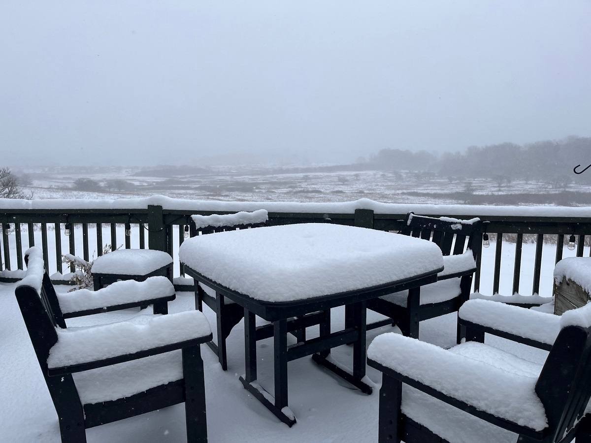
Thomas Yocum Snow blankets the Canaan Valley in West Virginia on Tuesday.
The Washington Post · Matthew Cappucci
12:46 JST, November 29, 2023
The first significant lake-effect snowstorm of the season is pummeling western New York state, bringing heavy accumulations that could top 2 1/2 feet in spots. Heavy snow has also fallen in northern Michigan, northeast Ohio and northwest Pennsylvania as frigid air blows over the Great Lakes.
In western New York, thunder has accompanied snow falling at rates up to 3 inches per hour, bringing dangerous whiteout conditions along sections of Interstates 90, 86 and 81. Snow-related accidents were reported on I-90 on Tuesday morning, but there were no road closures as of midday. The heavy snow has mostly remained south and north of Buffalo, which was paralyzed by two extreme snowstorms about a year ago.
In Ohio early Tuesday, snow caused a crash involving 13 vehicles about 20 miles south of Cleveland, according to the Akron Beacon Journal, with multiple non-life-threatening injuries. Several inches fell around Cleveland, where schools were closed.
Farther west, Sault Ste. Marie, Mich., received 11.7 inches Monday, its fourth-snowiest November day on record (records date to 1888). Winter weather advisories remain in effect for northern Michigan and its Upper Peninsula. Melstrand, Mich., about 50 miles east of Marquette, was buried under 21 inches.
The same weather system has also sent snow squalls all the way to the interior Mid-Atlantic, abruptly reducing the visibility in West Virginia and western Maryland, where up to 7 inches have fallen. A few flurries even made it to the coastline.
Most of the snow will be gone by this time next week. Temperatures are expected to climb consistently above freezing Thursday and may remain above normal into next week as a warmer pattern builds in.
Snow totals so far
Snow totals with this lake-effect event have been greater off Lake Ontario than Lake Erie. That’s because of Lake Ontario’s more west-to-east alignment, which is parallel to the current wind direction. Lake Erie is oriented more west-southwest to east-northeast, so air isn’t blowing down its full 241-mile length, and therefore can’t pick up as much moisture.
Here are some of the snow totals through midday Tuesday:
Off Lake Ontario:
– 23 inches in Constableville, N.Y.<
– 17.5 inches in Osceola, N.Y.
– 14 inches in Old Forge, N.Y.
– 12.5 inches in Glenfield, N.Y.
– 11 inches in Inlet, N.Y.
– 3.7 inches in Ticonderoga, N.Y.
Off Lake Erie:
– 16.5 inches in East Aurora, N.Y.<
– 15.2 inches in Hamburg, N.Y.
– 13.3 inches in South Madison, Ohio
– 13.1 inches in Lowville, Pa.
Where it continues to snow Tuesday, and the forecast
As of early afternoon Tuesday, snow bands off Lake Erie were breaking apart some, while they remained more intact off Lake Ontario.
A lake-effect-snow warning remains in effect until early Wednesday along Lake Erie from northeast Ohio into northwest Pennsylvania and western New York, just south of Buffalo. Another 4 to 8 inches is possible south of Buffalo’s airport to near Springville, N.Y.
Another lake-effect-snow warning continues along Lake Ontario north of Rochester and south of Watertown. The most additional snow is predicted over the Tug Hill Plateau, where another 5 to 10 inches could fall, pushing storm totals to near 30 inches in some areas.
As winds change direction to be more out of the northwest rather than the west, they’ll push the snow bands south away from the lakes, causing them to become fragmented and eventually disintegrate. The snow coming off Lake Erie should dissipate first, with most accumulation ending in northeast Ohio, northwest Pennsylvania and southwest New York by Wednesday morning.
The main snow band coming off Lake Ontario is more likely to hold together as it shifts slightly south. It may hover in the northern suburbs of Rochester through the evening hours Tuesday. There are some model indications that it could pivot back north and solidify once again into Wednesday. That may allow for some additional accumulation before the snow winds down early Thursday.
What’s driving the snow
Lake-effect snows form when frigid air blows down the length of a comparatively warm lake. Because the lake has to be warmer than the air above for snow to form, the phenomenon is most common in late fall and early winter. Once the lakes freeze over, the “lake-effect snow machine” shuts down.
In this case, the responsible weather system driving wind across the lakes is an upper-level low-pressure zone – or a pocket of high-altitude frigid air, low pressure and spin – passing to the north. Winds are curving around it, blowing across the lakes and picking up moisture, which is then being deposited over land as snow.