Coldest Wave of Winter Predicted to Bring Heavy Snowfall to Sea of Japan Side, Possible Snow on Pacific Plains
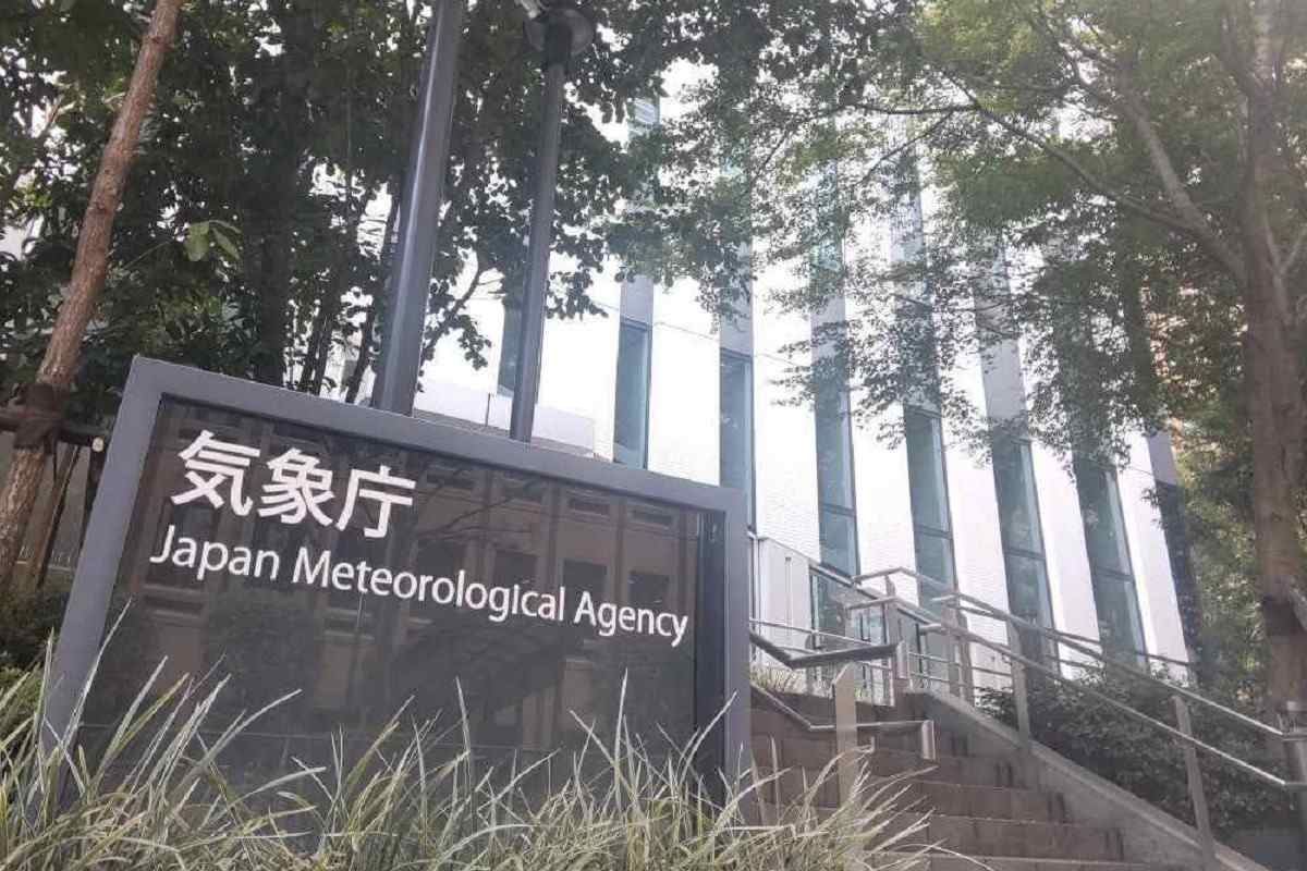
Japan Meteorological Agency
16:05 JST, February 3, 2025
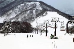
The strongest cold wave of this winter is expected to move into the skies over Japan, likely bringing heavy snowfall mainly on the Sea of Japan side of the country from Tuesday.
The cold wave will continue for about a week, and there is a possibility of snowfall even in the low-lying areas on the Pacific Ocean side. The Japan Meteorological Agency is urging people to be careful of the impact to traffic caused by icy road surfaces, avalanches and snow accumulation.
According to the agency, the amount of snowfall in the 24 hours up to 6 a.m. on Tuesday is expected to be 50 centimeters in Hokkaido, 40 centimeters in Hokuriku (including Niigata Prefecture), 30 centimeters in Tohoku, 25 centimeters in Tokai and 20 centimeters in Kinki and Chugoku and northern Kyushu, respectively at the maximum.
Up to 6:00 a.m. on Wednesday, the amount of snowfall in the 24 hours is expected to be as follows: 70 centimeters in Tohoku, Hokuriku (including Niigata Prefecture) and Tokai; 50 centimeters in Hokkaido, Kinki and Chugoku; 30 centimeters in northern Kyushu; and 20 centimeters in Shikoku.


Most Read
Popular articles in the past 24 hours
-
Japan Seeks to Counter China's Expanding Influence in Pacific by ...
-

Japan's Diet Begins Debate on Takaichi's Budget Plans, ‘Proactive...
-

Exhibition Featuring Yoshiharu Tsuge’s Manga World Underway in Ch...
-
Tokyo Skytree Observation Deck Remains Closed for Inspection afte...
-

Impact on Japanese Economy Unclear with Trump’s New Tariffs, Shif...
-

Hanzomon Line Service Suspended between Kudanshita, Oshiage Stati...
-

Nikkei Rises Over 700 Points to Hit New Intraday High
-

Japan's Services Inflation Steady, Signals Wage-Driven Price Pres...
Popular articles in the past week
-

Producer Behind Pop Group XG Arrested for Cocaine Possession
-

Japan, U.S. Name 3 Inaugural Investment Projects; Reached Agreeme...
-

iPS Treatments Pass Key Milestone, but Broader Applications Far f...
-

Tokyo Skytree's Elevator Stops, Trapping 20 People; All Rescued (...
-

Director Naomi Kawase's New Film Explores Heart Transplants in Ja...
-

Japan’s Major Real Estate Firms Expanding Overseas Businesses to ...
-

Milano Cortina 2026: Japan’s Mari Fukada Wins Gold in Women’s Sno...
-

Milano Cortina 2026: Japanese Figure Skater Kaori Sakamoto’...
Popular articles in the past month
-
Producer Behind Pop Group XG Arrested for Cocaine Possession
-

Japan PM Takaichi’s Cabinet Resigns en Masse
-

Japan Institute to Use Domestic Commercial Optical Lattice Clock ...
-

Man Infected with Measles Reportedly Dined at Restaurant in Tokyo...
-

Israeli Ambassador to Japan Speaks about Japan’s Role in the Reco...
-

Videos Plagiarized, Reposted with False Subtitles Claiming ‘Ryuky...
-

Man Infected with Measles May Have Come in Contact with Many Peop...
-

Prudential Life Insurance Plans to Fully Compensate for Damages C...
Top Articles in Society
-
Producer Behind Pop Group XG Arrested for Cocaine Possession
-
Man Infected with Measles Reportedly Dined at Restaurant in Tokyo Station
-
Man Infected with Measles May Have Come in Contact with Many People in Tokyo, Went to Store, Restaurant Around When Symptoms Emerged
-

Woman with Measles Visited Hospital in Tokyo Multiple Times Before Being Diagnosed with Disease
-
Australian Woman Dies After Mishap on Ski Lift in Nagano Prefecture
JN ACCESS RANKING
-
Producer Behind Pop Group XG Arrested for Cocaine Possession
-
Japan PM Takaichi’s Cabinet Resigns en Masse
-
Man Infected with Measles Reportedly Dined at Restaurant in Tokyo Station
-
Israeli Ambassador to Japan Speaks about Japan’s Role in the Reconstruction of Gaza
-
Videos Plagiarized, Reposted with False Subtitles Claiming ‘Ryukyu Belongs to China’; Anti-China False Information Also Posted in Japan