To use this site, please disable the ad blocking feature and reload the page.
This website uses cookies to collect information about your visit for purposes such as showing you personalized ads and content, and analyzing our website traffic. By clicking “Accept all,” you will allow the use of these cookies.
Users accessing this site from EEA countries and UK are unable to view this site without your consent. We apologize for any inconvenience caused.
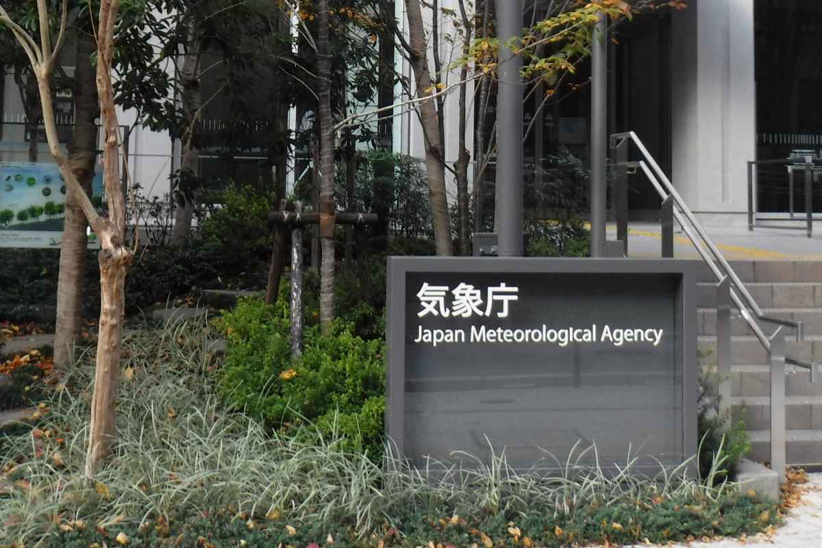
Yomiuri Shimbun file photo The Japan Meteorological Agency in Minato Ward, Tokyo.
The Yomiuri Shimbun
16:20 JST, January 23, 2023
The Japanese archipelago is expected to experience the strongest cold wave of the season, starting Tuesday and continuing through Thursday, as the winter pressure pattern strengthens.
The Japan Meteorological Agency is forecasting heavy snowfall nationwide, particularly on the Sea of Japan side. Snow is also expected to accumulate on the Pacific side, between the plains of the Kyushu and Tokai regions.
According to the JMA, snowfall during the 24-hour period ending at 6:00 p.m. on Tuesday is expected to reach 40 to 60 centimeters in the Tohoku region; 20 to 40 centimeters in the Hokuriku, Tokai, Kinki and Chugoku regions; and 10 to 20 centimeters in the Kanto, Koshin, Shikoku and northern Kyushu regions.
Following that, snowfall is expected to peak by 6:00 p.m. on Wednesday, with 70 to 100 centimeters falling in the Hokuriku region and 60 to 80 centimeters in the Tohoku region. Southern Kyushu is also expected to see 10 to 20 centimeters of snow.